


Construction site investigation methods
Contents |
[edit] Introduction
Before construction work commences on site, it is often necessary to undertake a thorough site investigation. Approved document C, Site preparation and resistance to contaminants and moisture, suggests that the extent and level of site investigation should be tailored to the type of development and the previous use of land. A thorough site investigation can remove uncertainties that could have a serious impact on budgeting and risk.
Site investigation can be carried out as a desktop survey or a site survey. There are several resources available to assist with site surveys.
[edit] Historical maps
Libraries can have copies of original land maps. The history of a site can indicate the previous usage and any potential sources of contamination. It can also identify underground obstructions, original boundaries, roads and walkways.
[edit] Ordnance Survey maps
The Ordnance Surveys provides mapping in the UK, giving details of buildings, boundaries, structures, roads and surrounding properties. The maps are available in a range of scales.
[edit] Local authority archives
Local authority archives are a source of historical information which might include old maps, photographs, street records and other information.
Local authorities may also have a planning application database from which historical data for a site can be accessed and previous planning applications for the area can be viewed. This might provide information about existing or previous proposals for the site and any planning conditions or restrictions that might apply.
[edit] Aerial photographs
Specialist contractors can produce scaled photographs for potential sites.
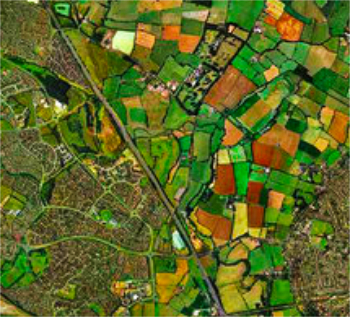
[edit] Online methodologies
Online satellite maps are now readily available and it has become easier to access aerial photographs of potential sites. The maps can help with topographical details, and heights and levels can be established from shadows. The maps can also be used to establish potential tree preservation orders, floodplains and so on.
An online address search can also reveal historical data about historical property values, previous usage of the site and any existing investigation reports.
[edit] Laser scanning
Laser scanning is a method of collecting surface data using a laser scanner which captures the precise distance of densely-scanned points over a given object at rapid speed. The process is commonly referred to as a point cloud survey or as light detection and ranging (LIDAR, a combination of the words 'light' and 'radar'). It can be used to generate 3D imagery that can be converted for use in 3D computer aided design (CAD) modelling or building information modelling (BIM).
For more information see: Laser scanning.
[edit] Site inspections
A physical visit to site will be required to carry out site investigations. Items that can be missed on aerial maps might be; trees and hedges, boundaries, services, including pylons and phone lines and any other site obstructions. More detailed site investigations will include soil analysis which will be carried out to establish the soil characteristics that will be required for designing the sub-structure. Trial pits will be used to gather samples that will be sent off for analysis.
For more information see: Site surveys.
[edit] Related articles on Designing Buildings Wiki
- Conceptual site model.
- Contaminated land.
- Desk study.
- Development appraisal.
- Ground conditions.
- Ground investigation.
- Insitu testing of soils.
- Laser scanning.
- Pre construction information.
- Radon.
- Site appraisal.
- Site information.
- Site selection and acquisition.
- Site surveys.
- Soil survey.
- Technical due diligence.
[edit] External references
- BTEC National Construction, Pearson
Featured articles and news
Global Asbestos Awareness Week 2025

Highlighting the continuing threat to trades persons.

The context, schemes, standards, roles and relevance of the Building Safety Act.
Retrofit 25 – What's Stopping Us?
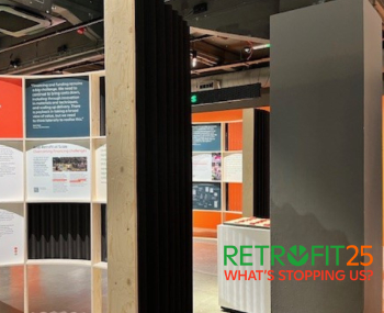
Exhibition Opens at The Building Centre.
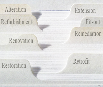
Types of work to existing buildings
A simple circular economy wiki breakdown with further links.
A threat to the creativity that makes London special.
How can digital twins boost profitability within construction?

The smart construction dashboard, as-built data and site changes forming an accurate digital twin.
Unlocking surplus public defence land and more to speed up the delivery of housing.
The Planning and Infrastructure Bill
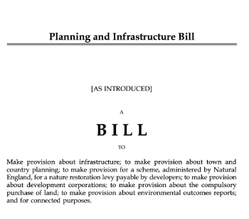
An outline of the bill with a mix of reactions on potential impacts from IHBC, CIEEM, CIC, ACE and EIC.

Farnborough College Unveils its Half-house for Sustainable Construction Training.
Spring Statement 2025 with reactions from industry

Confirming previously announced funding, and welfare changes amid adjusted growth forecast.
Scottish Government responds to Grenfell report

As fund for unsafe cladding assessments is launched.
CLC and BSR process map for HRB approvals
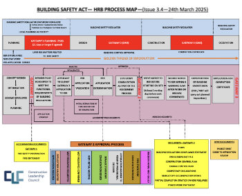
One of the initial outputs of their weekly BSR meetings.
Architects Academy at an insulation manufacturing facility

Programme of technical engagement for aspiring designers.
Building Safety Levy technical consultation response
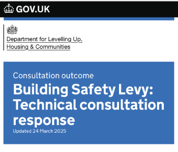
Details of the planned levy now due in 2026.
Great British Energy install solar on school and NHS sites

200 schools and 200 NHS sites to get solar systems, as first project of the newly formed government initiative.
600 million for 60,000 more skilled construction workers

Announced by Treasury ahead of the Spring Statement.

The restoration of the novelist’s birthplace in Eastwood.
Life Critical Fire Safety External Wall System LCFS EWS
Breaking down what is meant by this now often used term.
PAC report on the Remediation of Dangerous Cladding

Recommendations on workforce, transparency, support, insurance, funding, fraud and mismanagement.
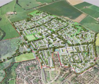
New towns, expanded settlements and housing delivery
Modular inquiry asks if new towns and expanded settlements are an effective means of delivering housing.